What's the meaning behind those new number signs on Philippine roads?
From AH26 to N420, the seemingly random numbers on the road serve a purpose
AH26? 10? 420?
Out on the road, you've probably noticed the seemingly random signs with numbers in the city and around the countryside. Of course, those signs and numbers aren't just there for show, but have you ever wondered what they were for?
If you're wondering about it, those are for the Philippine National Route Numbering System (RNS), and it's rather interesting.
Primary purpose
According to the Department of Public Works and Highways, the purpose of the RNS is 'to simplify and rationalize navigation along those National Roads'. Some may find that using the old name for a street is easier, and that's fine if you're from that particular locale, but it could be a source of confusion for those just driving through an area to distinguish certain road names. For instance: how many J.P. Rizal streets do you know of around the country?
The DPWH has three classifications for roads, namely National Primary, National Secondary, and National Tertiary.
Systematic
The numbers you see aren't there by random, the DPWH actually has a systematic arrangement for that. These roads are prefixed with either the letter N (National) or E (Expressway), and come in two digits. It goes beyond that too as it is even classified as to how many cities the road passes through. That's just for the National Primary roads.
Our National Primary Roads
From N1 (Pan-Philippine Highway) to N11 (C.P Garcia), it designates a National Primary Road that connects three or more roads. From N51 (Santiago-Tuguegarao Road) to N82 (Mandaue–Mactan Road, Pajo–Basak–Marigondon Road, AC Cortes Avenue), those major roads connect two cities. That's a total of 42 National Primary Roads.
Secondary roads (and how to read the signs)
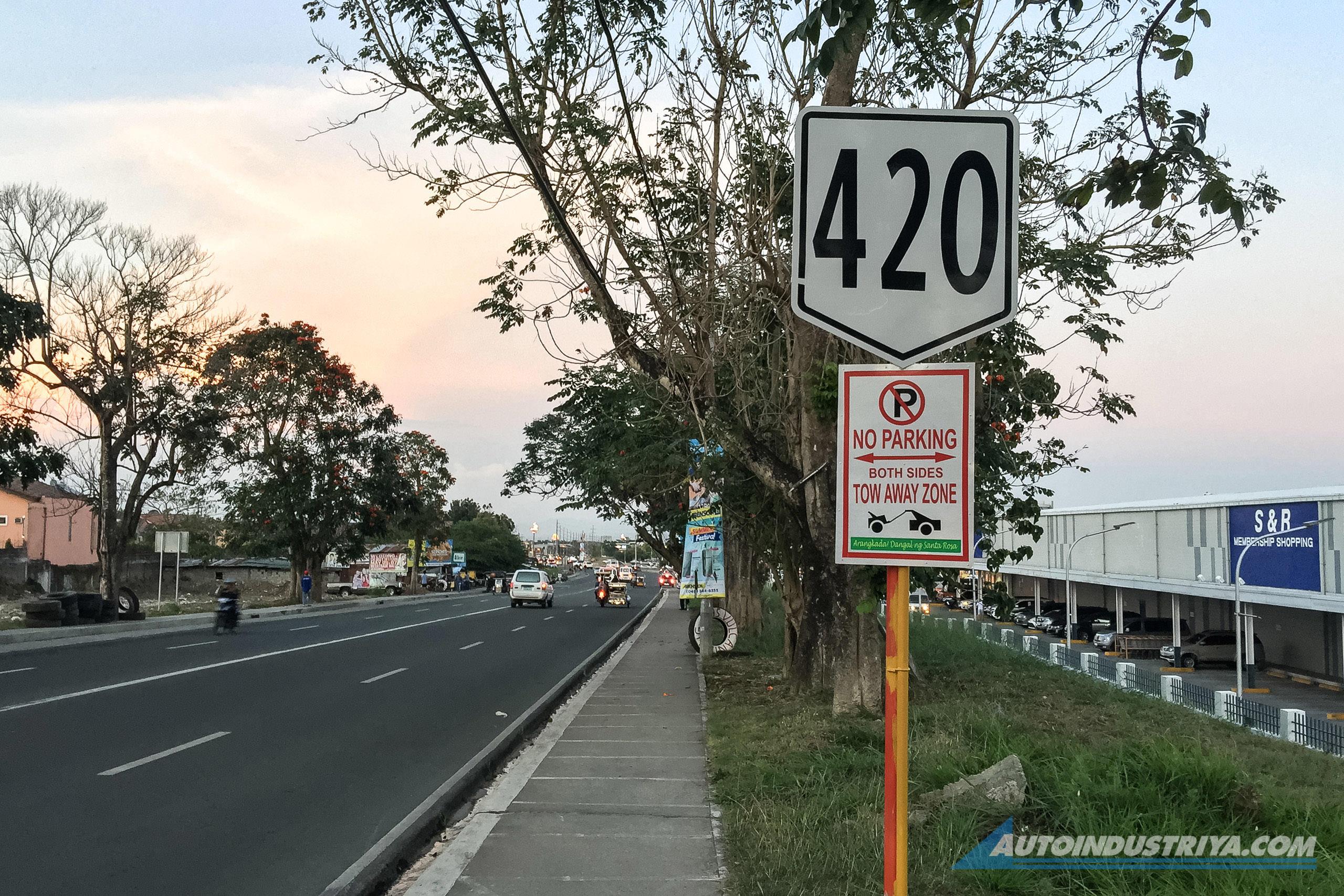
Secondary roads on the other hand have three digits. Again, those numbers aren't random. The first digit denotes the number of the primary road the said route is linked to.
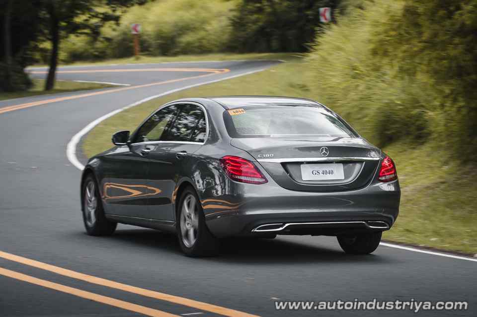
So, how do you read it? Let's take N420 as an example, also known as the Tagaytay-Santa Rosa Road. With 4 being the first number, that means the Tagaytay-Santa Rosa Road stems from the N4 National Primary Road, which spans from Jose P. Laurel Highway (from N421, Tanauan-Talisay Road), all the way to P. Burgos Street in Batangas City.
There are hundreds more secondary roads in the country, spanning from Luzon, all the way to Mindanao.
AH26: The road that links them all
Besides the white and black signage you see on the road, you've (most likely) encountered the AH26 sign as well. It's different from the standard RNS with its blue color, so what makes it special?
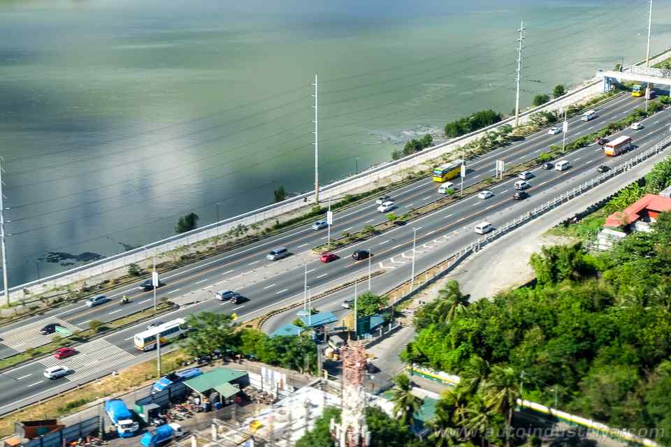
AH26 is better known as the Pan-Philippine Highway and it spans from Laoag to Zamboanga City. The 'AH' means 'Asian Highway', meaning the Pan-Philippine Highway is part of the Asian Highway network. It is also known as N1 when using the local RNS standard as well. It covers over 3,000 kilometers worth of road and it brings motorists from one ferry port to another. In essence, AH26 (or N1) forms the backbone of the entire Philippine highway network, with the other National Primary Roads stemming from it.
Just how big is our highway network?
As mentioned, there are 42 National Primary Roads in our highway system. But if we're talking about National Secondary Roads, there's approximately 325 in the country. With that, that's over 360 national highways covering well over 32,000 kilometers, and that doesn't include the National Tertiary Roads yet.
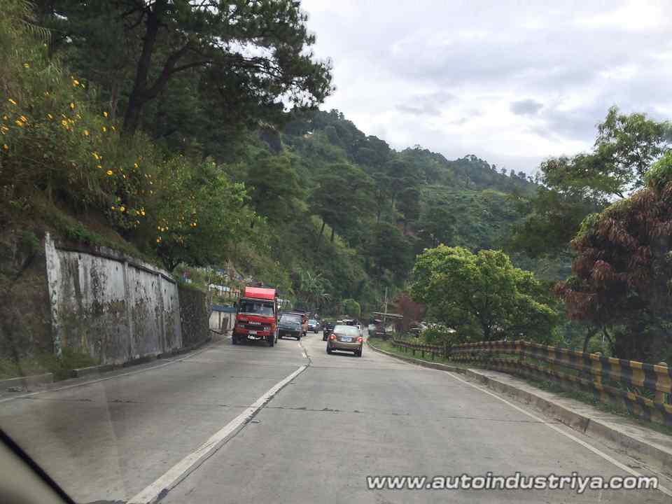
When it comes to our road network then, we're not lagging behind our neighbors. However, those thousands of kilometers aren't all what you would call developed. Not all of them are paved, nor are they in good condition.
Still, it's nice to know those seemingly random numbers you see on the side of the road serve a purpose. Credit where it's due, organizing, classifying and segratating over 360 highways and more than 32,000 kilometers of road is a daunting task, so kudos to those who took part in making this system, and making it work. With many thoroughfares and streets having the same name nationwide, it also clears up which 'J.P Rizal' road your taking thanks to these numbers.
The next time you see one of these signs, take a moment to realize just how vast our road network is, even if it doesn't always seem that way. Be it paved or unpaved, there's a lot of road to drive around in our country.
So, road trip anyone?
Related Posts

Barely Legal Speed: The Ariel Atom 4RR and its insane power-to-weight ratio
Built to celebrate 25 years of the Atom, the 4RR is the quickest and most powerful production Atom in the model’s history.

MIAS 2026: A shopper's delight for parts, accessories, and tools
The aftermarket section at MIAS showcases options for car enthusiasts to personalize, enhance, and maintain their vehicles

MIAS 2026: What we saw at the Classic and Custom Car Competition
We take a look at some of the entries at this year's MIAS Classic and Custom Car Competition

Six things to plan ahead for 2026 Manila International Auto Show
Heading to the 2026 Manila International Auto Show? Here are some tips to make sure you maximize the experience at World Trade Center

First Impressions: Did 2026 Nissan Kicks e-Power get the right updates?
Did Nissan do enough to keep the Kicks e-Power competitive in the hybrid crossover segment with its new update?

2026 Toyota RAV4 HEV: The promised hybrid?
Is the all-new sixth-generation Toyota RAV4 HEV worth it at a starting price of PHP 2.183M?